
Lake Travis, TX.
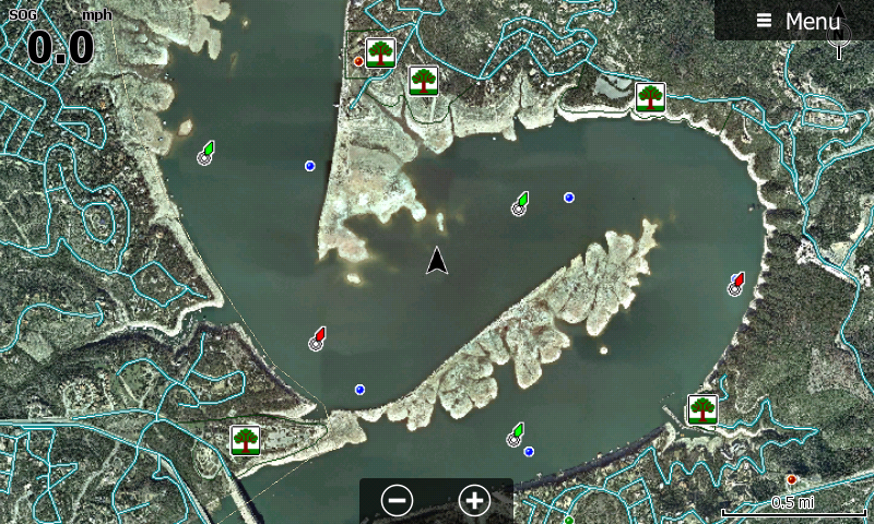
Low Water of Travis Lake, Texas. Imagery from October of 2014 at a water level of 626.67 feet. Want to see reservoirs during low water conditions? How about imagery that shows submerged road beds, or even better yet, aerial photos that show creek beds, timber lines, cattle ponds and things like bridges, foundations and ledges?
Low Water is a new series of GPS maps that contain aerial photo maps of reservoirs that were taken during extreme low water periods. |
$99.00Price